HOME
WHAT'S ON
WHAT TO DO
DISCOVER US
GEOGRAPHIC LOCATION
HISTORY
ORIGIN OF THE VILLA AND BOUNDARY OF LA FONT D'EN CARRÒS
DEMOGRAPHIC TRANSITION
PLACES, ROUTES AND CAVES
PUBLIC PARKS
OUR FESTIVITIES
GASTRONOMY
EN
VA
ES
EN
VA
ES
HOME
WHAT'S ON
WHAT TO DO
DISCOVER US
GEOGRAPHIC LOCATION
HISTORY
ORIGIN OF THE VILLA AND BOUNDARY OF LA FONT D'EN CARRÒS
DEMOGRAPHIC TRANSITION
PLACES, ROUTES AND CAVES
PUBLIC PARKS
OUR FESTIVITIES
GASTRONOMY
Back
PLACES, ROUTES AND CAVES
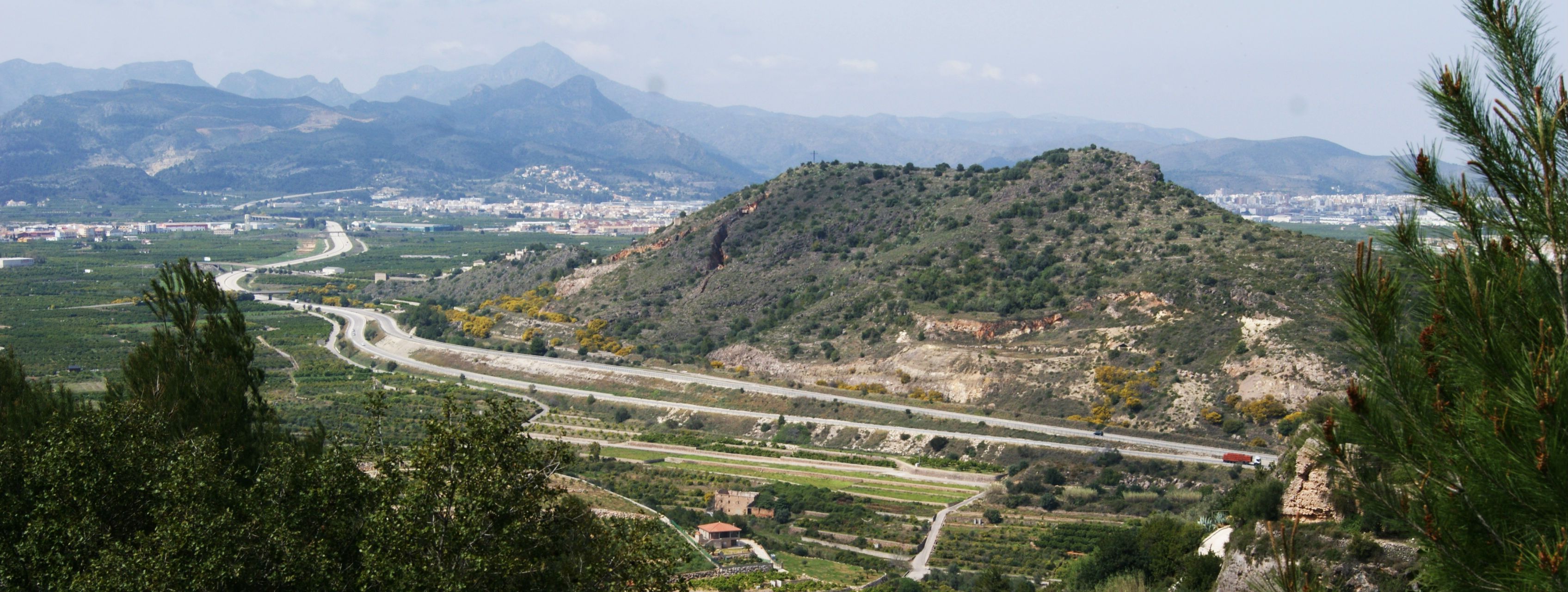
THE RABAT MOUNTAIN
The mountain of Rabat or mountain of Creu is a summit of 167 meters over the level of the sea. In this place, are located the terms of the Font d'en Carròs, Rafelcofer and La Alqueria de la Comtessa.
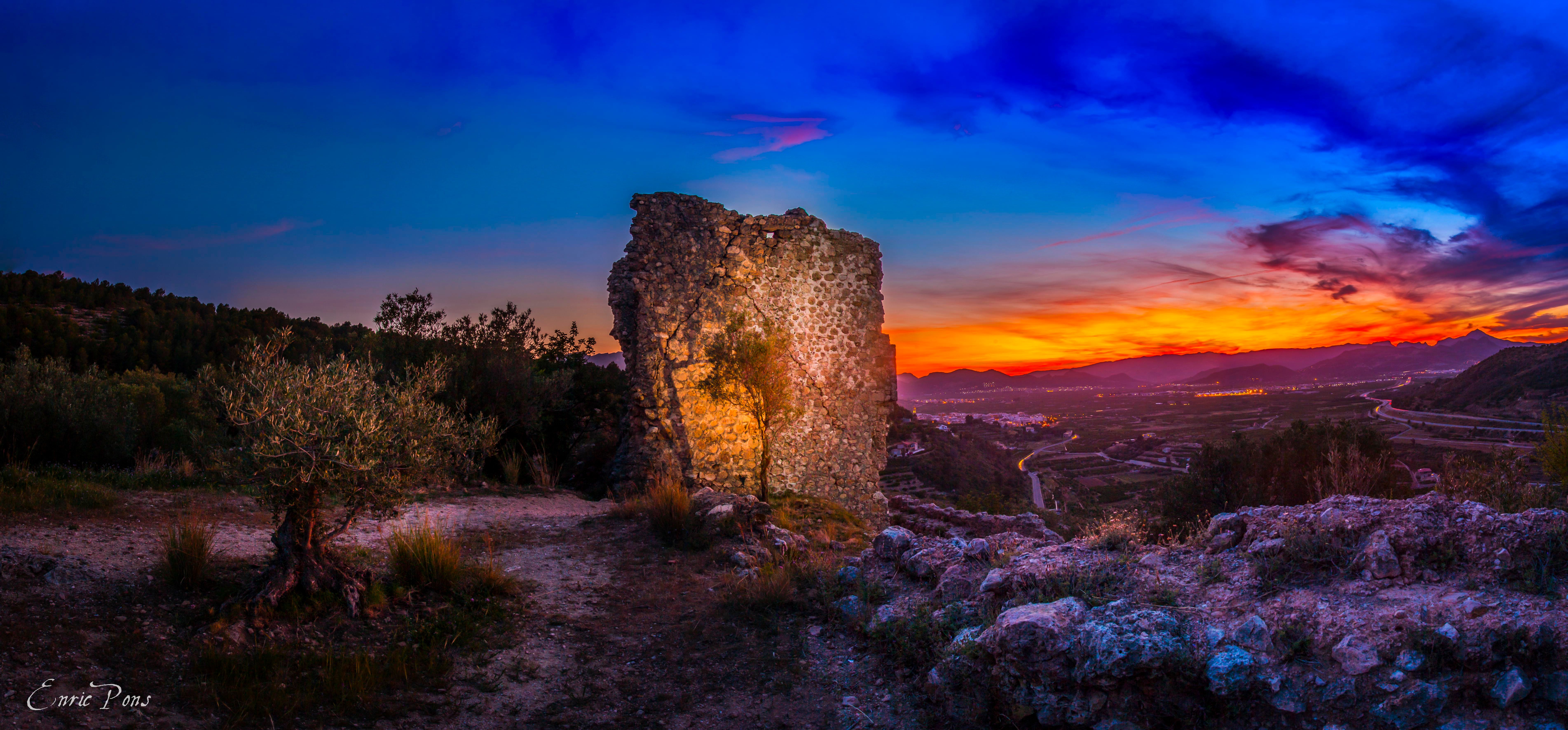
THE CASTLE SL-CV 60 ROUTE
This itinerary can be done in two directions. The one described below starts from el Calvari Park.
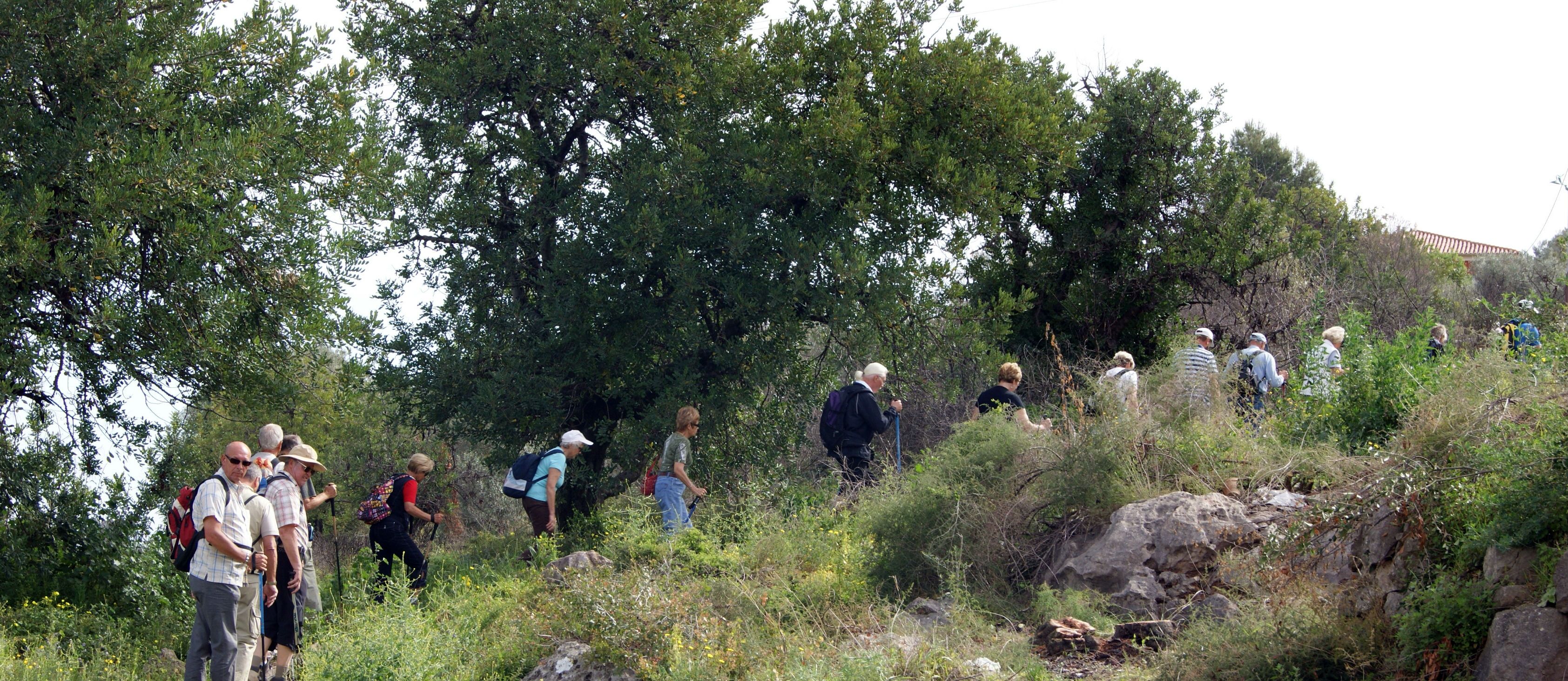
L'ASSAGADOR I LES COVATELLES PR-CV 347 ROUTE
This totally forestry nature trail goes into the heart of the Barranc de l'Arrullador, crossing dense pine forests and passing through the area of la Mola.
L'HORTA I ELS MOLINS ROUTE
This totally forestry nature trail goes into the heart of the Barranc de l'Arrullador, crossing dense pine forests and passing through the area of la Mola.
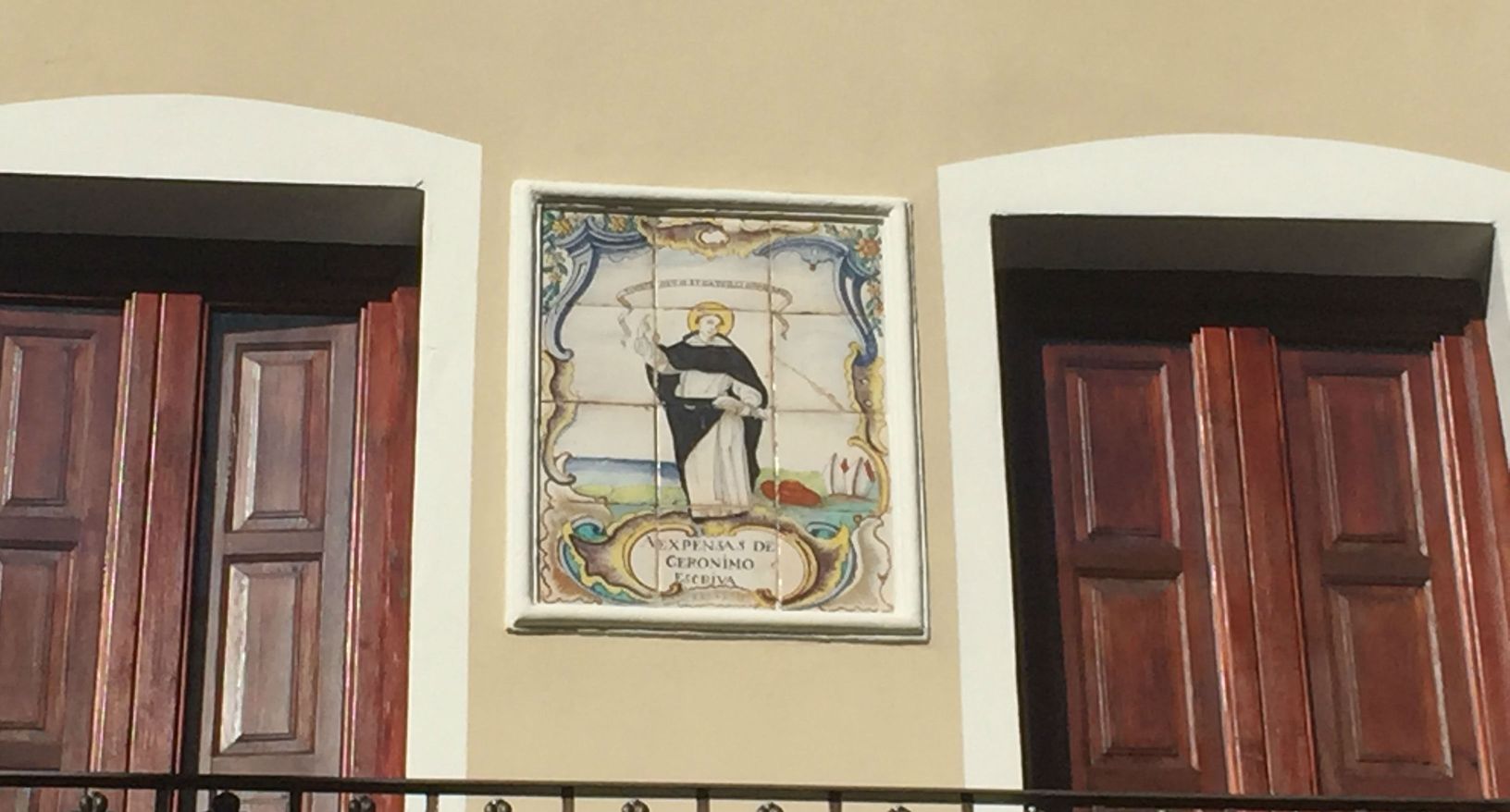
DEVOTIONAL CERAMIC PANELS ROUTE
Ceramic panels are part of the cultural heritage of our town, a modest but popular heritage.
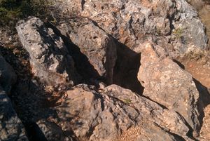
LA SIMA BLANCA, MOSQUIT CAVE
The mouth of the entrance is not far from the village. You can reach it by the path that starts in the parc del Calvari and continues for about 15-20 minutes until you turn aside at the entrance. The entrance has a few 50 centimeters in diameter and gives access to a bell pit of about 20 meters.